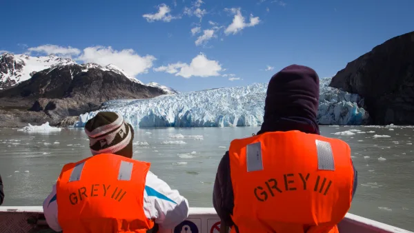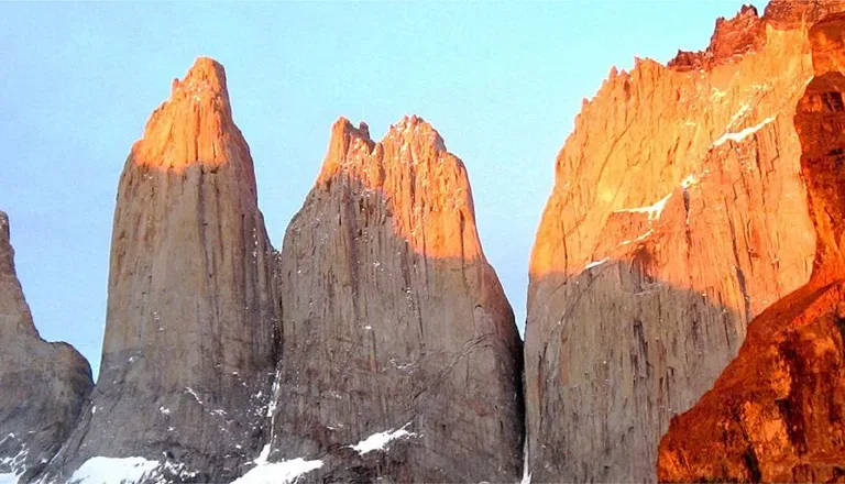
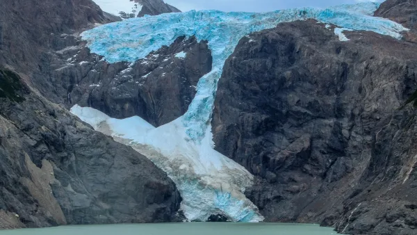
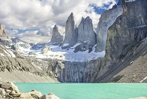
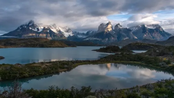
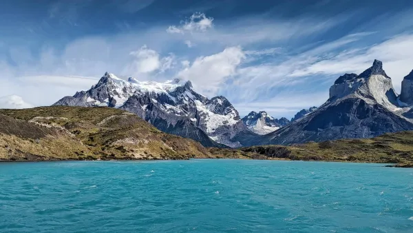
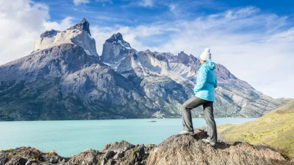
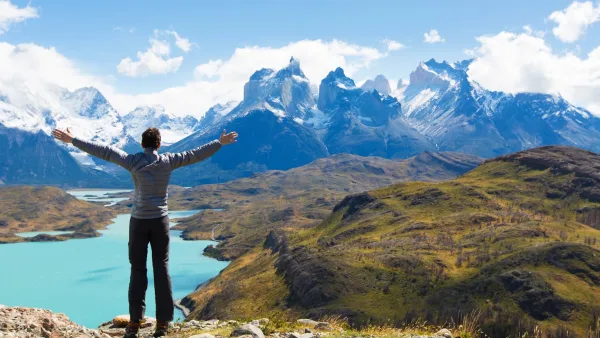
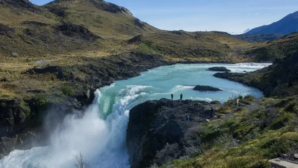
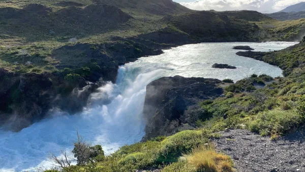
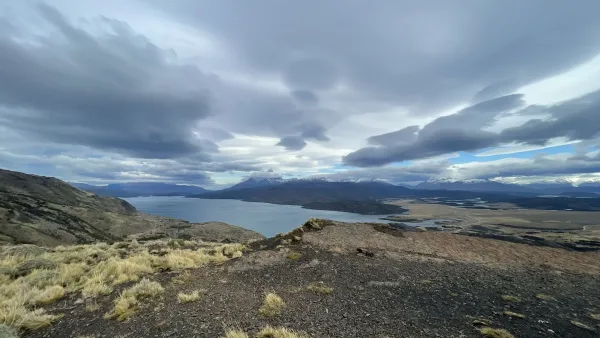
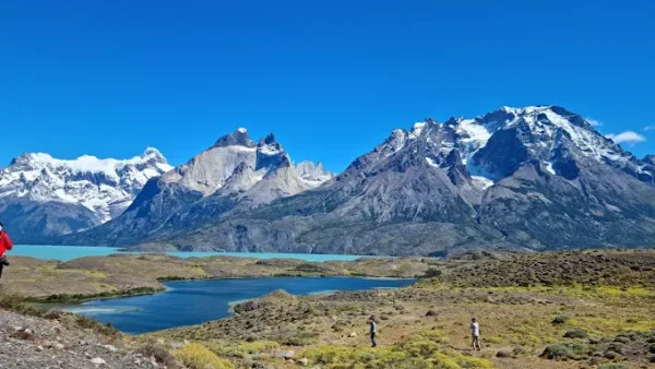
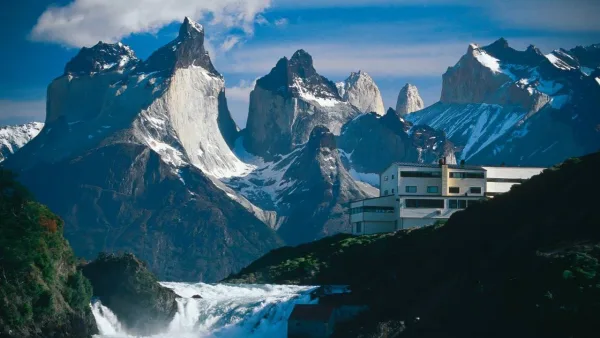
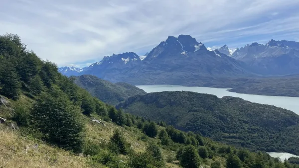
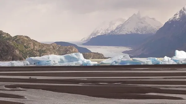
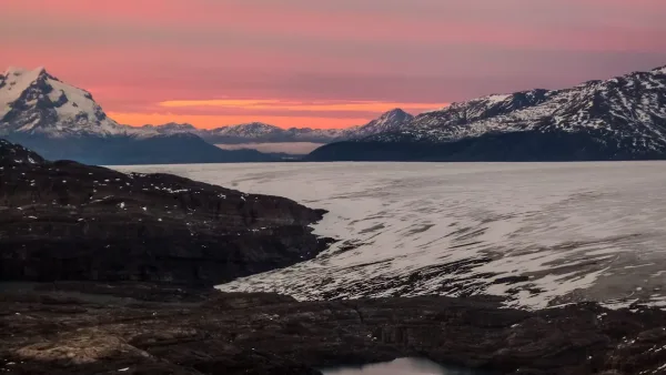
The viewpoints of Torres del Paine are privileged windows to Patagonia. From the iconic Mirador Base de las Torres to quieter corners, each spot offers unique panoramic views of glaciers, lakes, and mountains. Here, nature is at its finest: sunrises that paint the peaks red, turquoise lagoons that reflect the sky, and pampas where guanacos and condors can be spotted. Stopping at a viewpoint is more than just contemplating a landscape; it is experiencing a moment of deep connection with the environment. An essential experience for every traveler.
Translated with DeepL.com (free version)
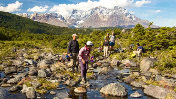
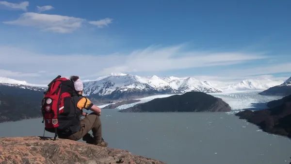
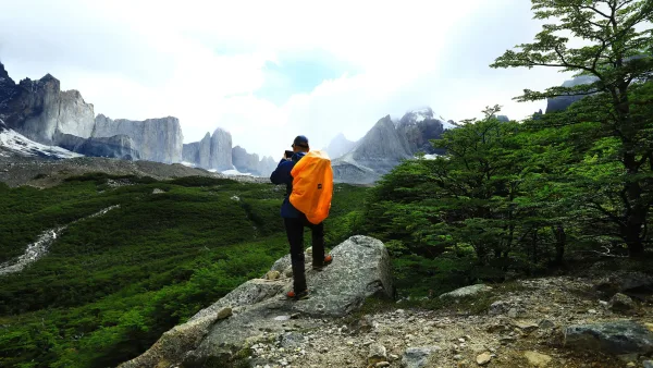
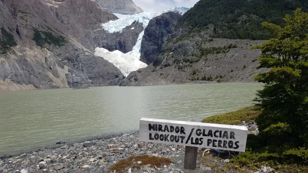
On the trekking circuit
Trekking in Torres del Paine takes you to iconic viewpoints like Base Torres, offering spectacular views of mountains, glaciers, and lakes. With moderate physical demand, each viewpoint provides a unique experience to enjoy the natural beauty of Patagonia.

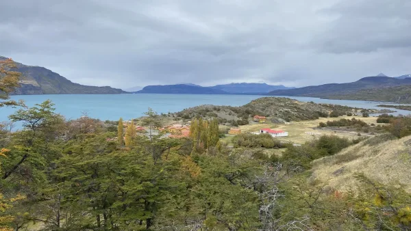
Access from the route
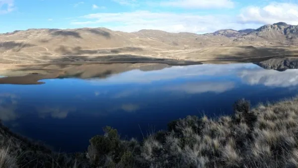
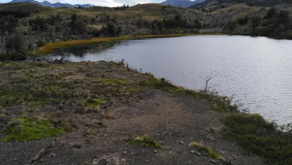
On the western trails of the park
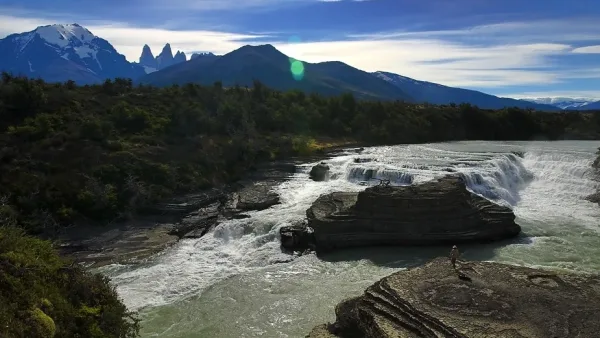
On the trails in the east of the park
Plan with real information, travel with experts. This guide is the result of years of exploring the destination. If our information has inspired you, we invite you to book your services with us. You'll not only be supporting this informative project, but you'll also have the backing of a team with direct contacts at the destination, ready to answer your questions and personalize your experience.

We carefully select every service and provide exclusive travel documents with practical tips for GreatChile clients.

We know the destination first-hand and maintain direct contact with our local partners to provide reliable, up-to-date advice.

We verify availability before payment and monitor every service before and during your trip to ensure everything runs as planned.