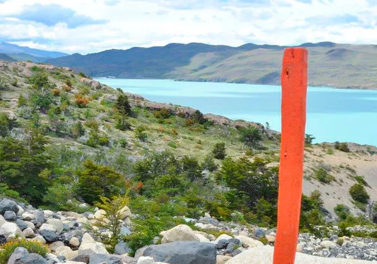
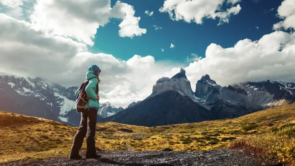
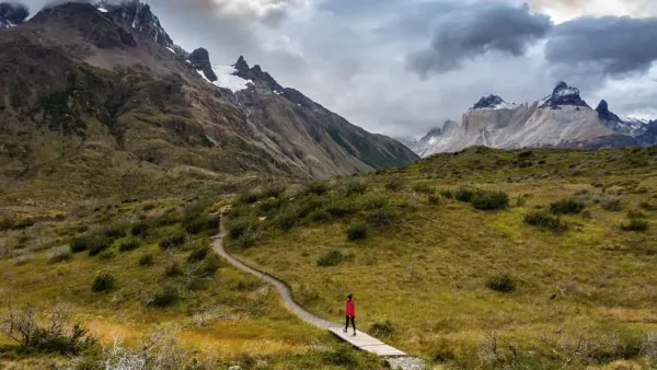
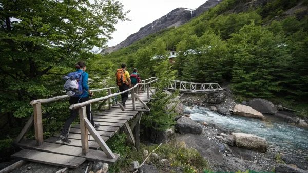
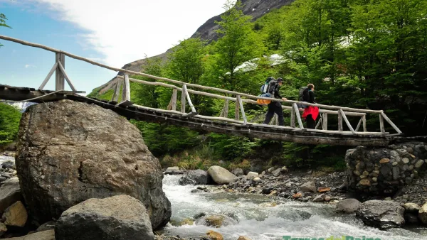
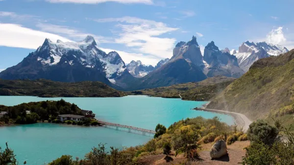
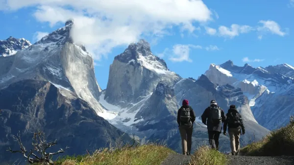
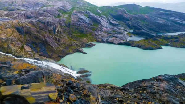
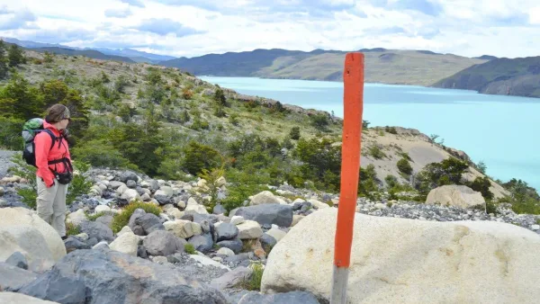
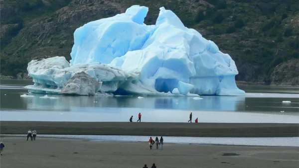
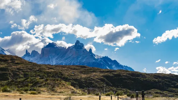
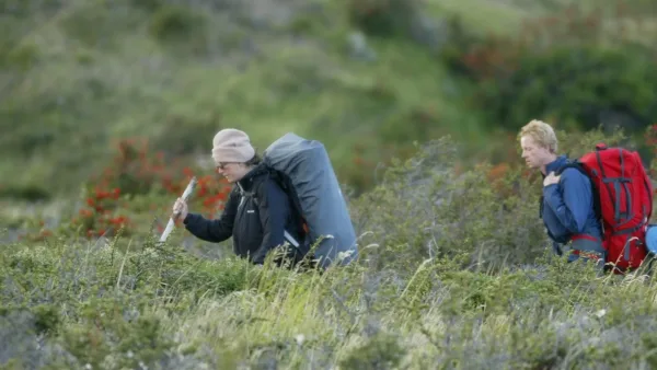
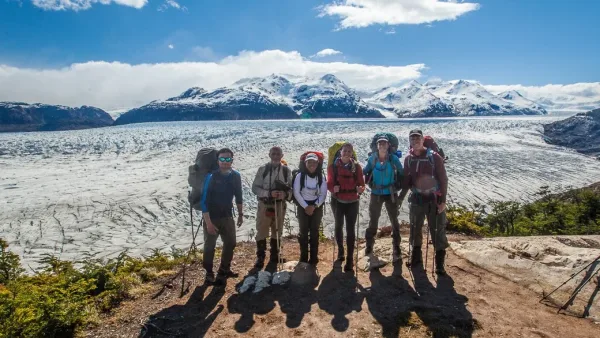
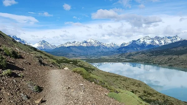
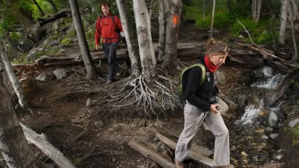
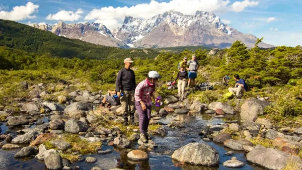
The trails of Torres del Paine are the heart of the park experience. Walking its routes means discovering glacial valleys, rivers, and forests, on trails ranging from accessible walks to legendary treks such as the W Circuit and the O Circuit. Each trail offers a different pace: some invite calm and wildlife observation; others challenge with demanding ascents that reward you with unforgettable views. With comfortable shoes, water, and an adventurous spirit, every step becomes a memory. Here, nature guides the way and transforms the way you experience life.
Paine Massif Circuit - Southern or W Section
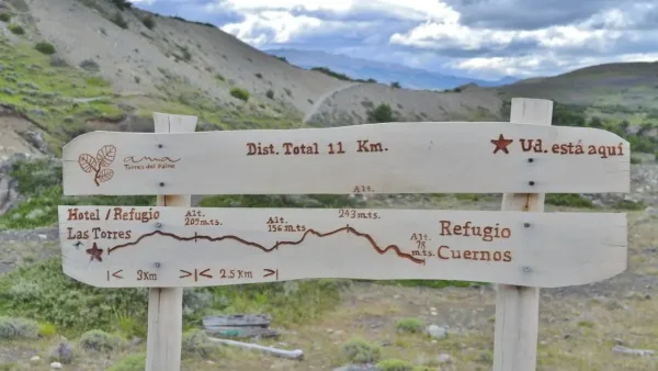
Trail between El Chileno and Las Torres base viewpoint
Difficulty: Medium - 20 km (8 hours) Initial altitude: 90 meters above sea level Maximum altitude: 870 meters above sea
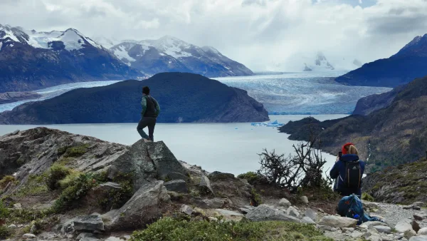
Trail between Grey Sector and Paine Grande Sector
Discover this 22.2-km round-trip route near Torres del Paine, Magallanes. It is generally considered a difficult route, taking an average
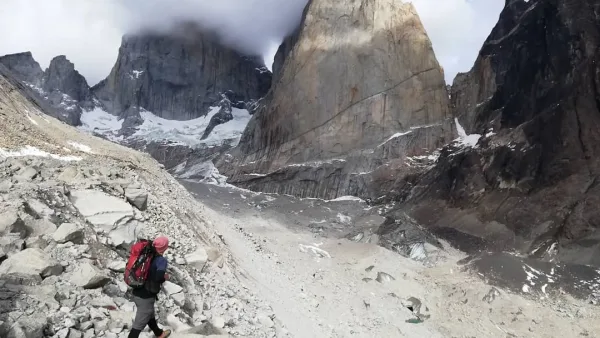
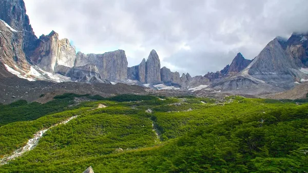
Trail through Valle Francés
Enjoy this 3.7-km round-trip route near Torres del Paine, Magallanes. It is generally considered a difficult trail. It is a
Trail between Los Cuernos and Las Torres
The trail to Mirador Cuernos also known as Cuernos del Paine offers a short and easy hike surrounded by some
Trail between Paine Grande Sector and Italiano Sector
This circuit begins from the Paine Grande Ferry Dock on Lake Pehoe. Continue along the Trail to the Italian Camp,
Trail between Italiano Sector and Los Cuernos
This trail connects the Italian Camp, the gateway to the beautiful French Valley with the Los Cuernos camp area, which
Trail between Sector Italiano and Sector Paine Grande
Trail for use in one direction only.
Trail between Las Torres and El Chileno
This route connects the Refugio Chileno, Laguna Inge and finally Refugio Los Cuernos through the trails "Las Torres a Chileno"
Trail between Los Cuernos and Las Torres
The trail to Mirador Cuernos also known as Cuernos del Paine offers a short and easy hike surrounded by some
Hiking trails from the route
Trail between Pehoe Viewpoint and Cóndor Viewpoint
This trail ascends to Mirador Cóndor from the Alto Pehoé area and is one of the two alternatives to visit
Trail between Pudeto and Cuernos Viewpoint
During a trip that lasts about 1 hour, hikers walk through the natural garden of the Torres del Paine National
Trail between Grey Checkpoint and Zapata Viewpoint
At approximately 350 meters of altitude and a 2 hour 40 minute walk you will reach a viewpoint where you
Trail between Grey Checkpoint and Ferrier Viewpoint
Enjoy a trekking route to the Ferrier viewpoint through the rugged terrain of Chile's Torres del Paine National Park. Its
Trail between Grey Checkpoint and Lago Grey Hotel Pier
From the Guardería Grey sector, start a hike that crosses the bridge over the Pingo River and continues to the
Trail between Samiento Lake and Amarga Lagoon
Trail for use in one direction only.
Paine Massif Circuit - Northern Section
Trail between Las Torres sector and Serón
Enjoy this 13.5-km point-to-point route near Torres del Paine, Magallanes. It is generally considered a moderate route, taking an average
John Gardner Pass – Trail between Los Perros and Paso Campground
Trail for use in one direction only.
Trail between Serón and Dickson
Trail for use in one direction only.
Trail between Paso Campground and Grey Shelter Sector
Passing the Glacier, the hard descent begins, the path continues along a narrow path until entering the forest until reaching
Trail between Dickson and Los Perros
Trail for use in one direction only.
Plan with real information, travel with experts. This guide is the result of years of exploring the destination. If our information has inspired you, we invite you to book your services with us. You'll not only be supporting this informative project, but you'll also have the backing of a team with direct contacts at the destination, ready to answer your questions and personalize your experience.
We carefully select every service and provide exclusive travel documents with practical tips for GreatChile clients.
We know the destination first-hand and maintain direct contact with our local partners to provide reliable, up-to-date advice.
We verify availability before payment and monitor every service before and during your trip to ensure everything runs as planned.