-
Place
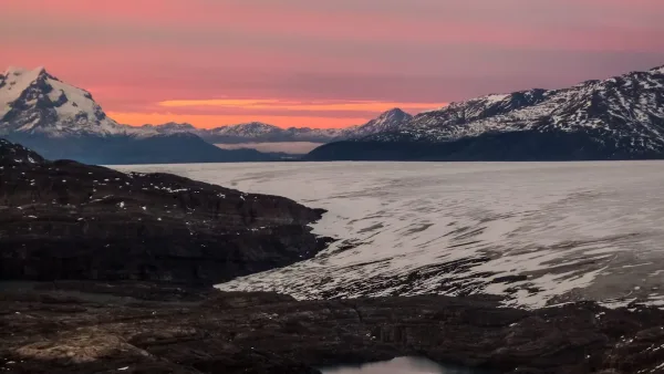
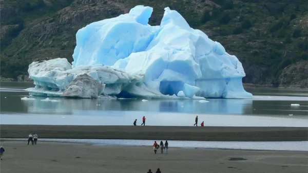
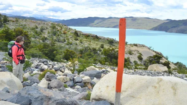
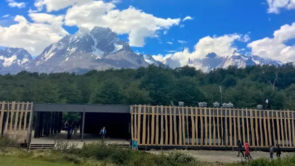
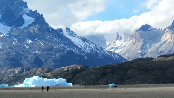
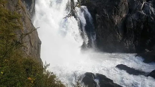
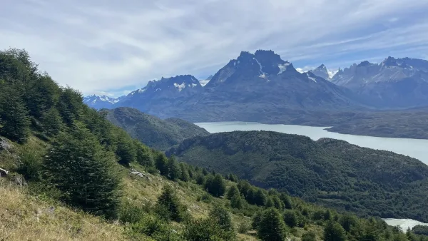
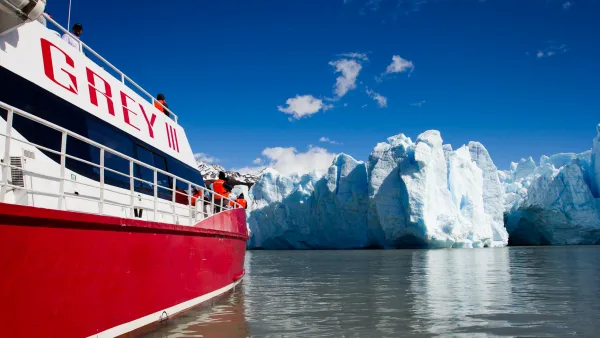
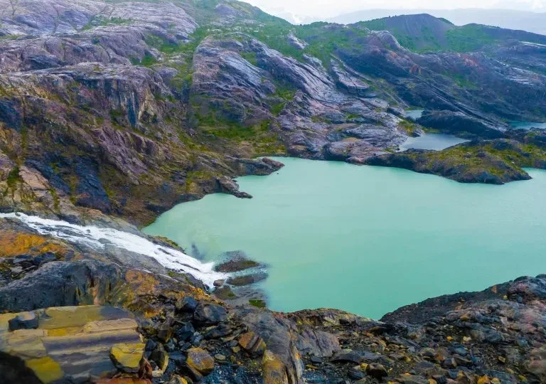
At approximately 350 meters of altitude and a 2 hour 40 minute walk you will reach a viewpoint where you can see the bottom of the valley, the Paine Grande Hill and the Pingo River. From here you descend abruptly to an esplanade with peat bogs (swampy area). In this area it is possible to see, if luck allows, some of the 45 Huemules that live in the park. At the end of this area, you climb a steep slope again through ñirres, then stunted and thorny vegetation will appear (it is recommended to wear long pants in this section). 30 minutes from the previous point, the detour to the Pingo waterfall appears, which reaches a viewpoint where you can see the noisy and imposing waterfall. 15 minutes from the detour you will cross an estuary, hydrate and regain energy. This section has small slopes. After a short walk you can see the Zapata refuge in the distance, which is close by, but the path does not continue in a straight direction towards it, but rather goes around some rocky hills, thus lengthening the walk. After 4 hours of walking from the beginning, you reach the place where the Zapata shelter used to be, burned in a fire. It is possible to obtain water a few meters away in the Pingo River. This place is ideal for camping and spending the night, there is a wide, flat space to set up tents. The next day it is possible to visit the Zapata viewpoint. The trail is indicated next to the refuge. After a 5-minute walk we find the detour to the viewpoint, take the path on the left, the landscape is open and you walk through an old glacial lego. You should be guided by the red stakes or by the stones also painted in that color. In this section you will have an excellent panoramic view of the Pingo glacier. A 20-minute walk away it is possible to stock up on water at a small estuary. During this section you can see small Coigües that do not exceed one meter in height. After crossing the estuary, the route ascends a steep slope that lasts 10 minutes, then the slope softens to the viewpoint. Finally, after 1 hour 30 minutes of walking from the beginning, you reach the Zapata viewpoint, at 230 meters above sea level, where it is possible to see the Pingo glacier to the north and the Zapata glacier to the west, both part of the last stretch of the Campos de South Ice. You return along the same route.