Southwest of Punta Arenas, where the Strait of Magellan branches into fjords and channels, the Sarmiento Glacier crowns the northern tip of Santa Inés Island. It's one of those places few maps ever recorded: for a long time the glaciers on this island appeared unnamed, until in 2015 the crew of the N.M. Forres named the southern one Glaciar Helado and the northern one Glaciar Sarmiento de Gamboa, in honor of the Spanish explorer who travelled these waters in the late 16th century.
Getting here is part of the experience. The sailing departs from Punta Arenas and crosses the Strait of Magellan toward Kawésqar National Park, the second largest park in Chile with its 2.8 million hectares. Along the way you also pass through the Francisco Coloane Marine Coastal Protected Area, a refuge for the humpback whale that migrates each year from the warm seas of the equator to feed in these cold waters. That's why the visit to the glacier usually closes a day that begins with whale watching.
What you'll see
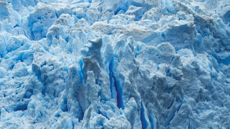
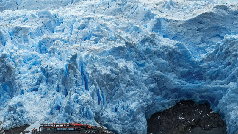
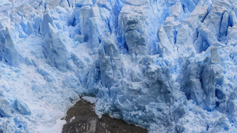
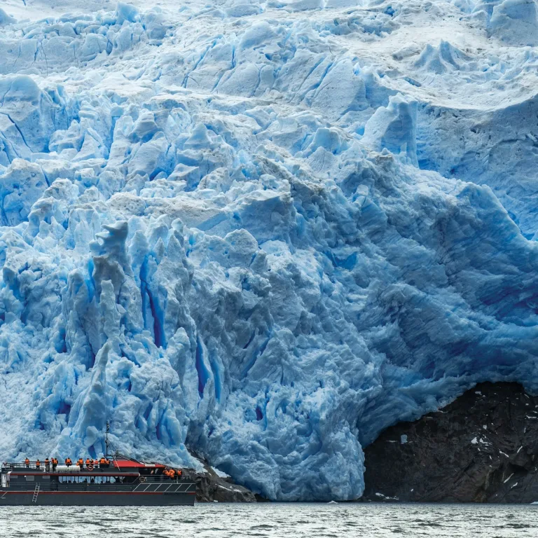
The landscape is one of channels, islands and fjords that are practically pristine, framed by the evergreen Magellanic forest: coigües, Guaitecas cypresses, notros and canelos. Facing the glacier, the wall of ice descends toward the sea in a silence broken only by the wind and, every so often, the crack of the ice. For those travelling with a camera on their shoulder, this is a landscape photography landmark: southern light, dark water and a wall of ice that condenses centuries of natural history.
A journey with history
These waters hold the story of the duel between the English corsair Francis Drake and the explorer Pedro Sarmiento de Gamboa. In 1579 the Viceroy of Peru commissioned Sarmiento to explore the Strait of Magellan and find places to settle people and build forts that would close the route to the enemies of the Spanish crown. On January 21, 1580, Saint Agnes's day in Spain, Sarmiento named the island that today is home to these glaciers. Years later he would found the City of King Don Felipe, the first attempt to settle Patagonia, later remembered as Puerto del Hambre.
For which kind of traveller
This destination connects especially with contemplatives and landscape photographers, and with those seeking historical depth on their journey through Magallanes. The sailing takes place mainly in the summer season, when the conditions of the Strait and the presence of whales favor the crossing. Like any voyage through the southern seas, it depends on the weather and on the conditions of the day.
If your route is headed toward Torres del Paine National Park, this sailing is a way to add the marine and glacial face of the region before heading inland toward the granite towers. For details on dates, schedules and how to fit it into the rest of your itinerary, talk with your GreatChile representative.