Trail between Paine Grande and Administration
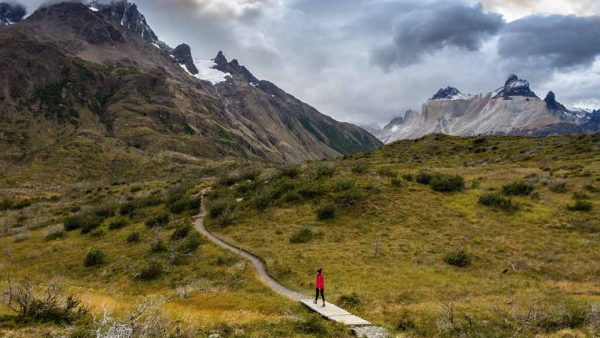
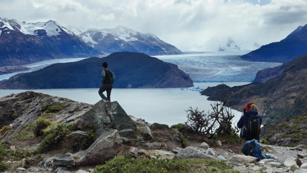
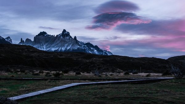
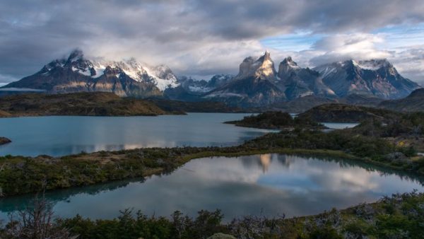
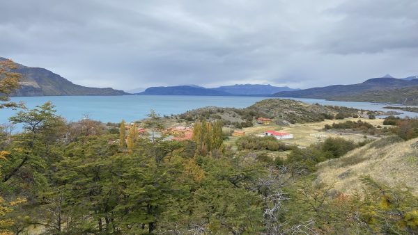
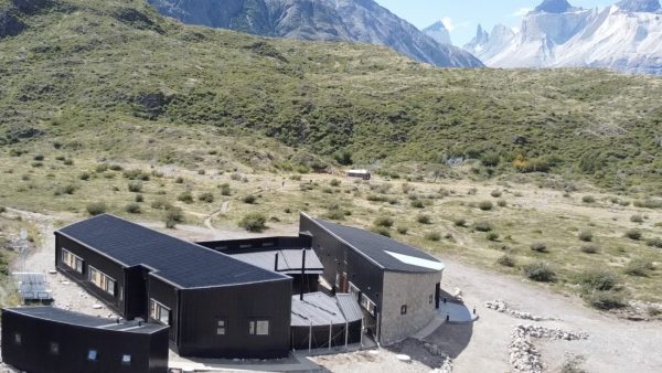
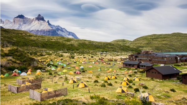
Explore this 17.9-km point-to-point route near Torres del Paine, Magallanes. It is generally considered a moderate route, taking an average of 4 hours 22 minutes to travel. This route is popular for camping and hiking, however, you will be able to enjoy some peace during the quieter times of the day. The best time to visit this route is from October to April. The route begins at the Paine Grande Refuge and continues close to the beautiful Lake Pehoé with its crystalline and turquoise waters. From its shores, you can see the imposing Cuernos del Paine and Cerro Paine Grande. Leaving the lake (3 km from the beginning), the trail continues to the Gray River and follows this tributary to the south. Along the way, you can see a large number of fauna such as the guanaco, the Huemul, the Rhea and the Condor and a unique vegetation characteristic of the park. Additionally, there are panoramic views of the entire park along the entire route. The route is easy in terms of slopes, but a little long for more relaxed walkers. Between kms. 10 and 11, there is Camp Las Carretas for those who prefer to do the route in two days. This trail can only be done in the south direction, from the Paine Grande Refuge to the Park Administration office.

